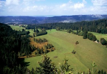
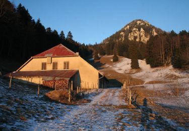
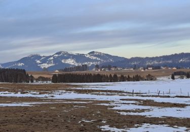
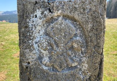
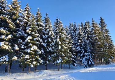
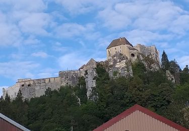
Randonnée Marche Les Fourgs - Metabief2 les fours le sentier des bornes  - Photo

Metabief2 les fours le sentier des bornes

 frfl70
frfl70

Utilisateur

© OpenStreetMap contributors
Longueur
Longueur
20 km
Altitude max
Altitude max
1184 m
Dénivelé positif
Dénivelé positif
424 m
Km-Effort
Km-Effort  
26 km
Altitude min
Altitude min
1077 m
Dénivelé négatif
Dénivelé négatif
425 m
Boucle
Boucle
Oui
Date de création :
2022-07-18 22:29:59.905
Dernière modification :
2022-07-18 22:29:59.905

(0 Avis)

Marche
Marche
5h50
Difficulté : Très difficile

Scannez ce code QR pour ouvrir la randonnée dans l'application SityTrail

Application GPS de randonnée GRATUITE

Logo SityTrail SityTrail

IGN / Instituts géographiques

Télécharger SityTrail sur l'App Store Télécharger SityTrail sur Google Play

Logo SityTrail SityTrail World

Le monde est à vous

Télécharger SityTrail sur l'App Store Télécharger SityTrail sur Google Play Télécharger SityTrail sur Huawei AppGallery

À propos

Randonnée Marche de 20 km à découvrir à Bourgogne-Franche-Comté, Doubs, Les Fourgs. Cette randonnée est proposée par frfl70.

Profil altimétrique

Points d'intérêt

Point d'intérêt Les Fourgs - La Haute Joux - Photo
frfl70
LES FOURGS 
Point d'intérêt Les Fourgs - Monter en forêt - Photo
frfl70
LES FOURGS 
Point d'intérêt Les Fourgs - Les Trois Pierres - Photo
frfl70
LES FOURGS 
Point d'intérêt Sainte-Croix - Tourner à gauche - Photo
frfl70
SAINTE-CROIX 
Point d'intérêt Sainte-Croix - Mouille de la Vraconnaz - Photo
frfl70
Point d'intérêt Sainte-Croix - Vers Chez Henri - Photo
frfl70
SAINTE-CROIX 
Point d'intérêt Sainte-Croix - S'éloigner du muret - Photo
frfl70
SAINTE-CROIX 
Point d'intérêt Sainte-Croix - Douane - Photo
frfl70
SAINTE-CROIX 
Point d'intérêt Sainte-Croix - Passage canadien - Photo
frfl70
SAINTE-CROIX 
Point d'intérêt Sainte-Croix - Borne 16 - Photo
frfl70
SAINTE-CROIX 
Point d'intérêt Les Hôpitaux-Vieux - La Bégaude - Photo
frfl70
LES HÔPITAUX-VIEUX 
Point d'intérêt Les Fourgs - D6 longer la route - Photo
frfl70
LES FOURGS 

Localisation

Pays :
France
Région :
Bourgogne-Franche-Comté
Département/Province :
Doubs
Commune :
Les Fourgs
Localité :
Unknown
Départ:(UTM)
303728 ; 5189763 (32T) N.

Randonnées à proximité

Randonnée Marche Les Fourgs - Le Stratégique - Doubs - Photo
Marche
tracegps

Marche

Moyen
(1)
Les Fourgs, Bourgogne-Franche-Comté, Doubs, France
8,3 km | 10,6 km-effort
2h 45min
Oui
Randonnée A pied La Côte-aux-Fées - La Côte-aux-Fées - Buttes - Photo
A pied
GUIDE+

A pied

Facile
La Côte-aux-Fées, Neuchâtel, Inconnu, Suisse
6,7 km | 8,5 km-effort
1h 55min
Non
Randonnée A pied Sainte-Croix - La Gittaz-Col de l'Aigullon - Photo
A pied
GUIDE+

A pied

Facile
Sainte-Croix, Vaud, District du Jura-Nord vaudois, Suisse
4,1 km | 6,4 km-effort
1h 26min
Non
Randonnée Marche Les Fourgs - Belvedere de la roche Sarrasine - Photo
Marche
daniellebou

Marche

Difficile
(1)
Les Fourgs, Bourgogne-Franche-Comté, Doubs, France
12,4 km | 17 km-effort
3h 51min
Oui
Randonnée Ski de fond Les Fourgs - Piste du Voirnon - Photo
Ski de fond
mallovon

Ski de fond

Facile
Les Fourgs, Bourgogne-Franche-Comté, Doubs, France
11,8 km | 15,2 km-effort
3h 39min
Oui
Randonnée A pied Les Fourgs - Le Sentier des Bornes - Photo
A pied
GUIDE+

A pied

Facile
Les Fourgs, Bourgogne-Franche-Comté, Doubs, France
6,4 km | 8 km-effort
1h 48min
Non
Randonnée Ski de fond Les Hôpitaux-Vieux - Les Essarts - Photo
Ski de fond
mallovon

Ski de fond

Facile
Les Hôpitaux-Vieux, Bourgogne-Franche-Comté, Doubs, France
6,5 km | 8,1 km-effort
2h 3min
Oui
Randonnée Marche La Cluse-et-Mijoux - le grand taureau, la Cluse et Mijoux - Photo
Marche
eltonnermou

Marche

Moyen
La Cluse-et-Mijoux, Bourgogne-Franche-Comté, Doubs, France
24 km | 34 km-effort
5h 26min
Oui
Randonnée Marche La Cluse-et-Mijoux - GTJ 2 La Cluse et Mijoux, Metabief - Photo
Marche
Praff

Marche

Moyen
La Cluse-et-Mijoux, Bourgogne-Franche-Comté, Doubs, France
21 km | 29 km-effort
6h 18min
Non


Fermer
Mes abonnements